
The Piri Reis Map: Did an Ottoman Sailor Discover Antarctica?
The Piri Reis Map: Did an Ottoman Sailor Discover Antarctica?
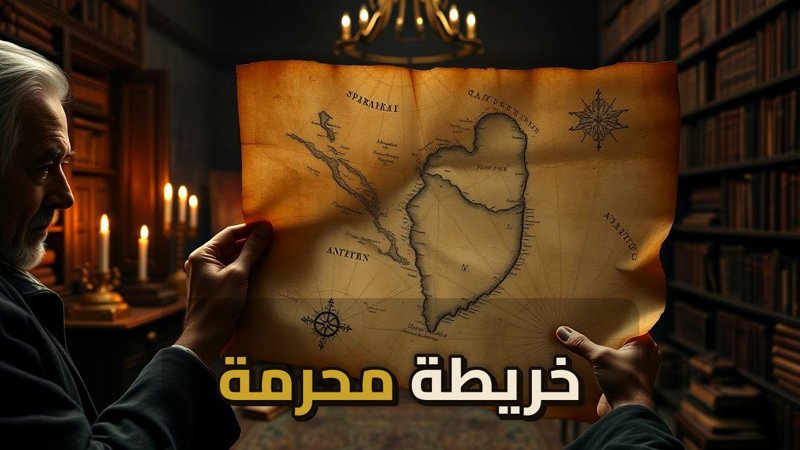
In 1929, a routine inventory at Istanbul’s Topkapi Palace led to the discovery of a document that would baffle historians for decades. The Piri Reis map, drawn on gazelle skin in 1513, displays geographical accuracy that seems impossible for the 16th century, including a southern landmass that bears a striking resemblance to Antarctica—depicted without its signature ice cap.
Navigate Content
The Man Behind the Mystery
Piri Reis was not a mere cartographer; he was a highly skilled Ottoman naval commander and researcher. Trained by his uncle, the famous Kemal Reis, he dedicated his life to mastering the art of navigation. His seminal work, the Kitab-ı Bahriye, served as a comprehensive guide to the seas. Like the Roman Dodecahedron, this map represents an artifact that challenges our understanding of ancient technological capabilities.
A Technical Enigma
Modern analysis, particularly by Charles Hapgood, suggests the map utilizes an equidistant azimuthal projection—a technique requiring advanced spherical trigonometry. Key features include:
- Precise determination of longitude, a feat not mastered until the 18th century.
- Accurate mapping of the South American and African coastlines.
- The inclusion of topographical details that suggest a view from high altitude.
The Antarctic Controversy
The most debated aspect of the map is the southern landmass. Critics and proponents alike wonder how Piri Reis could have documented a continent that remained hidden under ice for millennia. This mystery parallels other sites that defy conventional timelines, such as Skara Brae or the ancient structures found at Karahantepe.
Sources and Secrets
Piri Reis explicitly noted that his map was a compilation of 20 different sources, including eight maps from the time of Ptolemy and a lost chart by Christopher Columbus. This suggests that the map is a bridge between ancient knowledge and the Age of Discovery. Much like the secrets hidden in The Amarna Archive, the Piri Reis map serves as a testament to the vast, often forgotten, information networks of the past.
Frequently Asked Questions
Generated by AI Content Architect