
The Vinland Map: Scientific Analysis of the Million-Dollar Viking Forgery

The Vinland Map: Scientific Analysis of the Million-Dollar Viking Forgery
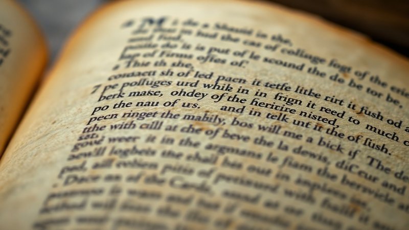
In 1957, a routine discovery of a medieval manuscript in London turned into one of the most significant historical controversies of the 20th century. The Vinland Map, purportedly dating back to the 15th century, offered the tantalizing possibility that Vikings had reached North America long before Columbus. However, as the map underwent rigorous scientific testing, the line between historical relic and ingenious hoax began to blur.
Navigate Content
A Map That Shook Academic Foundations
When Yale University acquired the artifact for one million dollars, the implications were massive. The document displayed ‘Vinlanda Insula’ with striking detail, challenging the reliance on
- oral Icelandic Sagas
- traditional celestial navigation
- centuries of established geographic narrative
. If authentic, this map would have provided the ultimate physical evidence that Viking explorers had mapped the American coast.
Red Flags in the Cartography
Expert scrutiny soon revealed anomalies that defied historical logic. Most notably, the depiction of Greenland was far too accurate for the 15th century. Geographers of the era typically portrayed Greenland as part of the North Pole or a vague mass, yet this map displayed a clear coastline. This level of precision raised immediate suspicion among historians, much like the Nazca Lines once sparked intense debate regarding ancient capabilities.
The Chemical Smoking Gun
The debate was finally settled not by historians, but by chemists. Under an electron microscope, researcher Walter McCrone identified anatase (a form of titanium dioxide) within the ink. Because this specific industrial compound was not manufactured until 1923, it provided the definitive proof that the document was a modern fabrication. This discovery highlights how science often acts as the final arbiter in historical enigmas, much like examining the physical nature of Tutankhamun’s Meteorite Dagger.
The Lessons of Forgery
The Vinland Map serves as a cautionary tale in the world of historical artifacts. It reminds us that even when we desperately want to prove an existing legend—such as the Viking voyages to the west—we must remain vigilant against ‘power documents’ that seem too perfect to be true. For more tales of mysteries involving potential deceptions, one might consider the intrigue found in The Berlin Tunnel.
Frequently Asked Questions
Generated by AI Content Architect