
The Nazca Lines: Ancient Desert Prayers or Astronomical Maps?
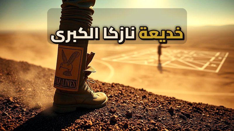
The Nazca Lines: Ancient Desert Prayers or Astronomical Maps?
In 1930, a routine flight over the Nazca Plateau in southern Peru revealed a landscape transformed by massive, inexplicable geoglyphs. Stretching for kilometers, these intricate designs of monkeys, hummingbirds, and spiders remained hidden from the ground, visible only from the sky. This discovery sparked decades of debate regarding their purpose and the methods used by an ancient civilization to create such precise masterpieces.
Navigate Content
The Geometric Genius of the Nazca
The Nazca people did not rely on extraterrestrial intervention, but rather on a sophisticated understanding of their environment. The plateau is covered in dark volcanic gravel that, when cleared, reveals a stark, light-colored sand beneath. By removing this top layer, they created high-contrast lines that have been preserved for millennia due to the region’s arid climate. Their process involved:
- Creating small-scale designs on pottery.
- Using a grid system of ropes and wooden stakes.
- Scaling proportions with mathematical precision.
Maria Reiche: The Guardian of the Lines
The mystery of the lines is inseparable from the life of Maria Reiche, a German mathematician who dedicated forty years to their preservation. Living in a simple tent without modern amenities, she spent her days sweeping the lines by hand to keep them visible. Her work, much like the study of The Maya Collapse, highlights the immense effort required to decode ancient human ingenuity.
An Astronomical Calendar or a Prayer for Rain?
Reiche famously proposed that the Nazca Lines functioned as an ‘open-air astronomical book,’ tracking the movement of the sun and stars to guide agricultural cycles. While modern researchers have debated this theory, the lines remain a testament to the Nazca people’s deep connection to their environment. Much like the mysteries surrounding The Wow! Signal, the lines continue to challenge our understanding of ancient capabilities.
Preserving a Legacy
The Nazca Lines face constant threats from modern development and environmental encroachment. Maria Reiche’s tireless advocacy serves as a reminder of the importance of protecting our cultural heritage. For those interested in how ancient civilizations managed to leave such lasting marks on the earth, exploring the history of Damnatio Memoriae provides further context on how history is both remembered and erased.
Frequently Asked Questions
Generated by AI Content Architect
About The Author