
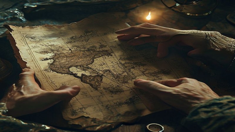
The Piri Reis Map Enigma: Antarctica, Lost Civilizations, and Ancient Global Cartography
The Piri Reis Map Enigma: Antarctica, Lost Civilizations, and Ancient Global Cartography
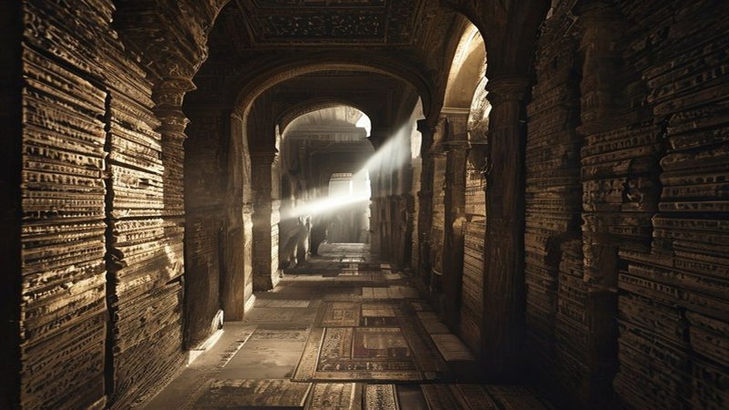
Imagine standing in the dim corridors of the Topkapi Palace in 1929. Researcher Halil Ethem lifts a piece of worn deerskin from piles of forgotten documents. His heart trembles as he sees lines drawn with skill far exceeding the era’s capabilities. This is no ordinary map. It is a document signed by the Ottoman Captain Piri Reis in 1513. You are now looking at one of history’s greatest enigmas. This map not only depicts the coasts of Africa and the Americas with astonishing accuracy but also shows something that should not be there. It reveals Antarctica with precise geographical details three centuries before its official discovery. Even more startling, it shows the continent without its ice cap, depicting mountains, rivers, and valleys currently buried beneath thousands of meters of ice.
Navigate Content
The Ottoman Admiral and the Secret of 20 Ancient Sources
Examine the weathered edges of this ancient hide closely. Piri Reis was not just an ordinary sailor in the Ottoman fleet. He was a scholar, thinker, and geographical genius raised in Gallipoli. He spent his life battling waves and accumulating knowledge from every port he reached. In 1513, he sat in his study to compile the essence of his learning. He used red and black ink to chart shipping routes and wind patterns, annotating the margins in Ottoman Turkish. In these notes, Piri Reis imparts a secret that shifts perspectives. He states he did not create this map from scratch; rather, he relied on twenty other ancient maps, some dating back to the time of Alexander the Great, and others whose geographical origins remain unknown. You are confronted here with a chilling question: How did the ancients know the shape of the Earth before contemporary explorers trod upon it?

The Unfrozen Continent: The Antarctic Anomaly
Take a deep breath and contemplate the topography of Antarctica. Modern science tells us this continent was discovered in 1820. However, the Piri Reis map depicts the Queen Maud Land region with remarkable precision, showing coastlines seemingly devoid of ice. In 1960, the U.S. Air Force meticulously examined the map. The findings shocked everyone: the underlying geographical details perfectly matched data obtained through sub-ice seismic surveys. This implies that someone mapped this continent when it was green, or at least before it was entirely covered by ice. Science suggests the ice has covered this region for millions of years, but the map suggests a lost civilization possessed highly advanced cartography millennia ago. This type of discovery—where ancient knowledge defies known timelines—is often seen in other enigmas like the advanced construction of Puma Punku.
Lost Technology: The Enigma of Longitude and Projection
Consider the immense effort the Ottoman captain exerted to integrate these disparate sources. He had to reconcile the longitude and latitude calculations of maps that did not employ the modern system. Yet, he achieved an astonishing result. The map utilizes the azimuthal projection system, a method where a specific point forms the center, from which distances are distributed accurately. This type of geometry requires profound knowledge of Earth’s sphericity—a concept many were still debating in Piri Reis’s time. You now experience the perplexity felt by scientists: How could Piri Reis accurately determine longitudes? Calculating longitude demands extremely precise chronometers, which were unavailable in the 16th century, only emerging in the 18th century. Yet, the map displays intercontinental distances with unprecedented accuracy, suggesting his sources possessed a technologically superior understanding that is currently inexplicable.

The Hapgood Hypothesis and Cycles of Oblivion
Feel the chill of the ice touch your imagination as you attempt to reconcile this contradiction. Professor Charles Hapgood proposed a theory that revolutionized our view of history, suggesting that an advanced global navigation civilization dominated the Earth before the end of the last Ice Age. Perhaps this civilization was the true source of the maps Piri Reis utilized. You are touching upon the reality that our written history may be incomplete. Furthermore:
- The map shows the Atlantic Ocean, Brazil, and the Antilles with accuracy that, in some aspects, predates the voyages of Columbus and Magellan.
- Piri Reis explicitly mentions Columbus’s map as one of his sources, suggesting Columbus himself may have possessed a copy of these ancient maps before his famous journey.
This compels speculation about the vast knowledge hidden in old libraries, subsequently lost to wars and fires, echoing theories surrounding lost historical artifacts and the discovery of lost civilizations buried beneath the Sahara. Are we living in cycles of civilization and oblivion? This map is not merely a piece of leather; it is a mirror reflecting our ignorance regarding our true past.
A Legacy That Rewrites History
Let us focus on the minute details of the map. The lower section displays a continuous mountain range. Modern science has confirmed the existence of these mountains beneath the polar ice. How did Piri Reis know of them? Could his source maps date back to 6000 BCE, a period when some researchers claim the continent was still partially ice-free? This places us in direct confrontation with mainstream history textbooks. The map screams a truth many are hesitant to accept: the Earth was fully mapped geographically in antiquity. Picture Captain Piri Reis seated in his ship under the light of an oil lamp. He understood he was bequeathing an invaluable treasure to future generations. He compiled his famous *Kitab-ı Bahriye* (Book of Navigation) to describe every island and port in the Mediterranean. However, his world map remains the achievement that has baffled minds. Piri Reis was executed in 1554 due to political machinations within the Ottoman court. The man passed away, and his map remained hidden for centuries, as if awaiting the precise moment to emerge and challenge our intellects. You are now part of this discovery, reading a truth that was buried for half a millennium.
Frequently Asked Questions
Generated by AI Content Architect