
The Arctic Was Not Ice: Mercator’s Map & The Lost Green Pole
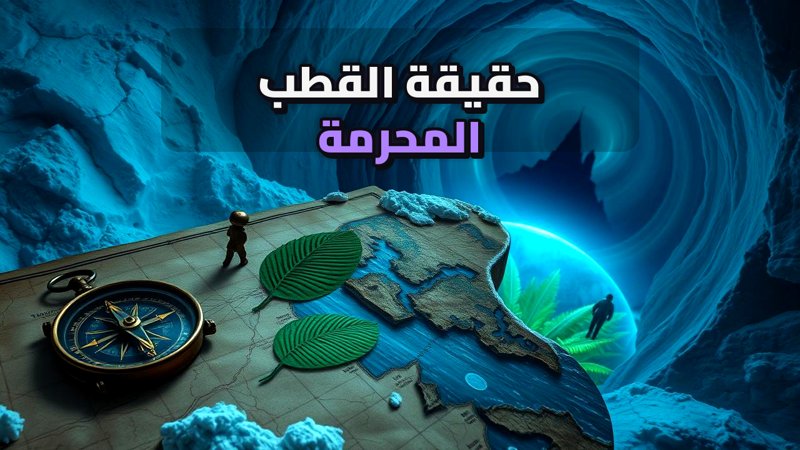
The Arctic Was Not Ice: Mercator’s Map & The Lost Green Pole
In 1595, renowned cartographer Gerardus Mercator published a map of the Arctic region depicting astonishing details of a completely unknown location: four massive islands converging at a central point around a magnetic mountain called ‘Rupes Nigra.’ Long dismissed as fantasy, modern science is revealing that Mercator’s map may have been based on a startling geological truth—the North Pole was not always a frozen wasteland.
Navigate Content
Mercator’s Mysterious 1595 Arctic Map
When Gerardus Mercator published his map, wooden ships were still struggling to explore northern peripheries without means to map the polar core with such precision. Rather than pure imagination, researchers note that the distribution of landmasses on this ancient map bears a striking resemblance to modern geological studies of the Earth’s crust beneath thick layers of ice. Was Mercator transcribing lost ancient voyages, or did he tap into a forgotten history of the planet?
The Tropical Past Beneath the Frozen Ocean
When drilling expeditions extracted sediment core samples from the bed of the frozen ocean, specialists were forced to revise their historical convictions. Beneath layers of frost, research teams uncovered:
- Pollen from palm trees and tropical plants.
- Remains of organisms like crocodiles and aquatic turtles.
- Evidence that temperatures once reached up to 25 degrees Celsius.
These discoveries prove that during prehistoric periods, the North Pole was a literal green paradise.
Myths of Hyperborea and Mount Meru
The geological reality of a habitable Arctic echoes through ancient mythology. Greek literature describes Hyperborea, a land beyond the North Wind where the sun never sets and inhabitants live in absolute peace. Similarly, Vedic texts in India reference Mount Meru, a colossal mountain situated at the center of the world amidst four islands—aligning remarkably with Mercator’s map. Such striking parallels appear in other historical contexts, much like the investigations found in The Markahuasi Plateau: Ancient Andes Observatory & Rock Art.
Uncovering Subterranean Landscapes with Modern Technology
Modern tools have eliminated the need to remove mountains of ice to uncover what is hidden beneath. LiDAR and radar scanning technologies now map an entirely different subterranean landscape, revealing giant canyons and drainage networks buried under kilometers of ice. This reminds us of how sudden climatic shifts and historical floods altered the globe, topics explored further in Sea Level Rose 20 Meters in 350 Years: The Truth Behind Floods.
Frequently Asked Questions
Generated by AI Content Architect
About The Author