The Lithic Map: How the Inca Crafted Detailed Maps of the Ancient World
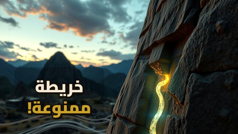
The Lithic Map: How the Inca Crafted Detailed Maps of the Ancient World
If you think maps are just paper and a compass, you haven’t yet seen the Saywite monolith—an enigma carved into the heart of the Andes that continues to baffle scientists to this day: Was this the ancient world’s AutoCAD used to build their empire, or merely a stone for magical rituals and offerings?
Navigate Content
A Miniature Full-Scale City in Stone
Imagine yourself standing in the Apurímac region of Peru, facing a massive stone block over 4 meters wide. At first glance, you will see carvings of animals like pumas and lizards, but as you step closer, the real confrontation begins. You are not standing before a statue; you are standing before a miniature, full-scale city. Precise water channels, dams, agricultural terraces, and houses—all carved into the stone with a mastery that would leave any modern irrigation engineer in absolute awe of the details. For context on ancient structural marvels, you might also find insights in articles discussing ancient feats like The Mystery of the Carnac Alignments: Stone Age Engineering.
The Civil Engineer’s Perspective: A Living Simulation Model
If we look through the perspective of a 21st-century civil engineer and set aside the idea that it is merely an ancient relic, we find that the first camp of researchers treats the Saywite monolith as a stone simulation model. To test this theory, scientists conducted experiments pouring liquids from the highest point of the rock. The result was astonishing: the liquid did not move randomly; the flow moved along meticulously carved paths, transferring from channel to channel, descending into miniature basins, and continuing its journey down expertly carved waterfalls. These pathways demonstrate that whoever carved it had a firm grasp of the laws of gravity and fluid pressure, reminiscent of other mysterious structural triumphs explored in Borobudur: The Riddle of the Mountain Built by Humans.
Relief Cartography and Practical Planning
The subject takes on entirely new dimensions when we compare the topography of the rock to reality. Researchers noted that the depressions and elevations on the stone simulate the actual valleys and mountains surrounding the region in Peru. Instead of risking the labor of thousands of workers to dig an irrigation channel deep inside a mountain or build a dam that might fail, the Inca engineer would test his idea here first. The rock provided him with answers and reassurance before he ever struck a single pickaxe into the earth. Even the carvings of jaguars, lizards, and monkeys served an analytical purpose, acting as signposts indicating the type of water source in a given area.
The Spiritual Counter-Perspective: A Sacred Cosmic Altar
However, was the sole purpose of all these complex details strictly engineering? Anthropologists and scholars of ancient religions hold an entirely different perspective, arguing that we make a mistake when we look at the Saywite monolith through the eyes of a 21st-century engineer, forgetting that we are dealing with a profoundly spiritual civilization. This camp views the rock not as a map of physical space, but as a sacred altar to the entire cosmos. Water to the Inca was ‘Mama Cocha,’ the mother of seas and oceans. When priests poured water over the rock, they were performing a complex religious ritual to appease the rain gods rather than conducting a simple hydraulic experiment.
Frequently Asked Questions
Generated by AI Content Architect
About The Author