
Piri Reis Map Secrets: Ottoman Cartography and Satellite Accuracy 500 Years Ago
Piri Reis Map Secrets: Ottoman Cartography and Satellite Accuracy 500 Years Ago
Navigate Content
The Impossible Accuracy of the 1513 Chart
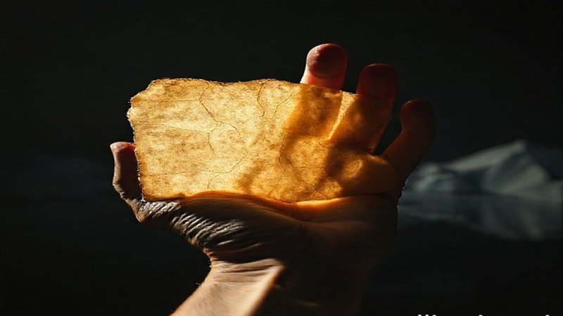
When researchers examined the Piri Reis map, they found more than just historical record; they found a cartographical anomaly. It synthesizes information from diverse sources, including charts potentially tracing back to the Library of Alexandria. The precision shown for the Americas is stunning, suggesting a viewpoint far higher than a ship’s mast. This map forces us to reconsider the technological capabilities of the Ottoman era, suggesting master engineers, not just simple sailors, were at the helm of geographical discovery.
- Source Compilation: The map is a composite of lost ancient manuscripts and contemporary Portuguese charts.
- Antarctica Riddle: It uniquely shows the Antarctic coastline, leading to speculation about pre-glacial knowledge.
- Navigational Genius: The accuracy rivals modern remote sensing, questioning the timeline of advanced geodesy.
Astrolabes, Spheres, and the Language of Starlight
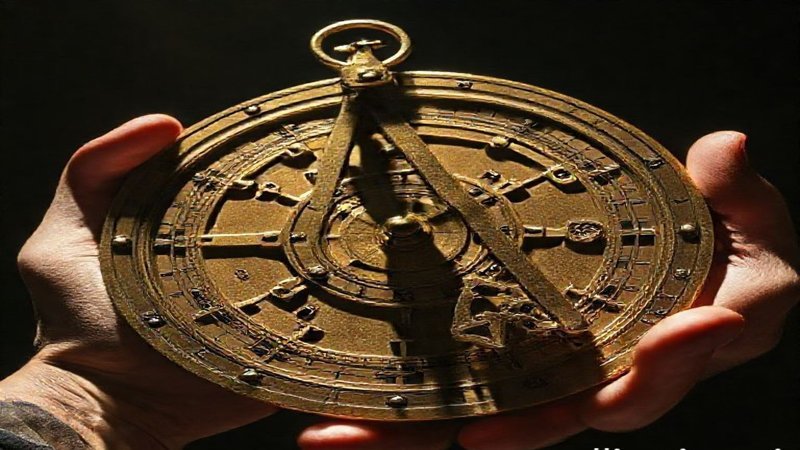
To understand the navigation that underpinned these maps, one must leave modern GPS behind and imagine the tools of the age. The brass astrolabe served as a complex analog computer. By measuring the altitude of celestial bodies, navigators could calculate latitude with startling accuracy. This was spherical trigonometry applied in real-time upon pitching wooden decks. Furthermore, the understanding of Earth’s shape was sophisticated; scholars like Al-Idrisi used physical models, such as a silver sphere, to conceptualize global geography centuries ago. This awareness was crucial for projecting a sphere onto a flat surface without catastrophic distortion.
The Scientific Underpinnings: Al-Biruni and Magnetic Declination
Ancient scholars possessed deep mathematical and astronomical insight. Consider Abu Rayhan al-Biruni, who calculated the Earth’s circumference to within 1% of modern results using only trigonometry and measuring the horizon’s depression from a single location. This level of abstraction demonstrates profound scientific application. Additionally, Arab and Muslim navigators mastered magnetic declination—the necessary correction for magnetic north—a concept requiring a rigorous understanding of terrestrial physics long before modern recognition. For further exploration into ancient engineering feats, see the article on the Great Pyramid’s Construction Secrets Unveiled.
Portolan Charts and the Art of Dead Reckoning
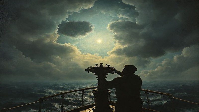
The visual structure of charts like Piri Reis reveals their operational basis: the portolan chart. The intersecting lines radiating from central points are rhumb lines, essential for steering by constant compass bearing. Navigation relied on dead reckoning—the continuous estimation of position based on speed, course, and elapsed time. This demanded constant human input: meticulous logging of every league sailed, observation of wind patterns, and interpreting subtle natural cues like water color or bird flight patterns. It was a direct synthesis of empirical observation and rigorous mathematical tracking.
Composite Cartography: Reconciling Lost Knowledge
The most accepted theory for the map’s Antarctic accuracy leans heavily on composite cartography. This process involved meticulously piecing together fragments of older, perhaps more accurately surveyed maps from various sources and eras. The choice of projection—likely an azimuthal projection—was also key, as it minimizes distortion errors over long distances when mapping from a central point. This suggests the genius was not just in drawing, but in the scholarly reconciliation of inherited global data.