Piri Reis Map Secret: Debunking Lost Civilizations and Antarctic Claims
Piri Reis Map Secret: Debunking Lost Civilizations and Antarctic Claims
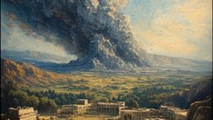
The Piri Reis Map, drawn in 1513 by an Ottoman admiral, remains one of history’s most perplexing documents. It appears to show the coastlines of Antarctica completely free of ice, a geographical impossibility given established timelines. While sensational theories point to lost super-civilizations, the true secret lies not in Atlantis, but in a profound, and often misunderstood, understanding of cartography and geometry.
Navigate Content
The Unsettling Discovery of 1929
Discovered in Istanbul’s Topkapi Palace, the Piri Reis Map shocked researchers. It accurately charted parts of the New World, but the lower section presented the true enigma: a coastline eerily matching Queen Maud Land in Antarctica, uncannily devoid of ice. Further investigation involving the US Air Force in 1960 suggested the contours matched post-1949 sonar mapping of the underwater topography, fueling theories that Piri Reis accessed source maps predating the Ice Age.

The Source Material: An Admiral’s Acknowledgment
Piri Reis himself noted that his map was a compilation based on nearly twenty older charts. Some were attributed to the time of Alexander the Great, while others were of unknown provenance. This reliance on ancient, possibly superior, source material led many to speculate about a forgotten precursor civilization that once charted the ice-free continent. However, the solution may be far simpler and more rooted in genius than in fantasy, perhaps aligning with mysteries like the Bimini Road Enigma.
The Ingenious Secret: Lost Mathematics, Not Lost Maps
The reigning scientific explanation centers on the cartographic technique employed: projection distortion. When projecting a sphere onto a flat plane, stretching is inevitable. Piri Reis utilized a stereographic projection, likely centered near the Tropic of Cancer or Egypt.
- The Illusion: When mapping from this specific vantage point, distant landmasses, like the southern edge of South America, curve and wrap around the map’s bottom edge.
- The Reality: What appears to be ice-free Antarctica is simply the highly distorted, extended coastline of South America, including Argentina, folded to fit the available goatskin parchment.
- Evidence: Piri Reis explicitly labeled this area with place names from the Brazilian coast and described local flora and fauna, offering no mention of ice or polar conditions.

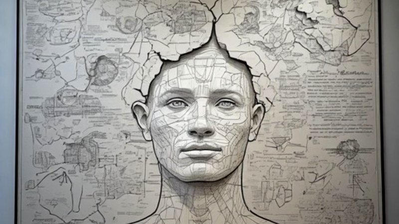
Redefining Genius: Mathematics Over Mythology
To interpret the distortion as pre-Ice Age Antarctica is to commit geographical pareidolia—seeing patterns where none exist due to expectation. The map’s true marvel is not what it shows about a lost continent, but what it reveals about 16th-century mathematics.
- Piri Reis demonstrated a sophisticated understanding of spherical geometry, merging data from various sources (Portuguese, Spanish, Arabic) into a cohesive framework.
- His accuracy regarding the distance between Africa and the Americas far outpaced contemporary European achievements.
We mistake the map’s mathematical necessity for evidence of extraterrestrial or Atlantean knowledge, when in fact, it showcases incredible human ingenuity, similar to the forgotten engineering prowess seen in Al-Jazari’s ancient robotics.
Frequently Asked Questions
Generated by AI Content Architect