
The 1958 Lituya Bay Mega Tsunami: When a Landslide Created a 520m Wave
The 1958 Lituya Bay Mega Tsunami: When a Landslide Created a 520m Wave
Natural forces occasionally remind humanity of their overwhelming scale, and few events illustrate this better than the 1958 Lituya Bay disaster. This wasn’t a typical earthquake-generated tsunami; it was a colossal water displacement caused by a landslide, resulting in a wave so high it dwarfed skyscrapers. Dive into the terrifying details of this unparalleled natural phenomenon in the Alaskan wilderness.
Navigate Content
The Setting: Lituya Bay’s Calm Before the Storm
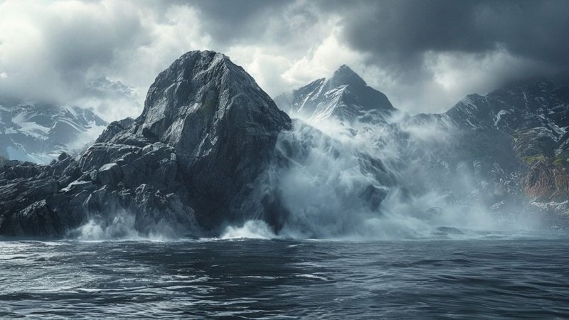
Lituya Bay, an isolated fjord-like inlet in Alaska, appears deceptively serene. Surrounded by towering, densely forested mountains, this location was largely untouched by modern civilization. However, beneath its tranquility lay the potential energy for catastrophe. The area is geologically volatile, situated where colossal tectonic plates constantly interact, setting the stage for the monumental event of July 9, 1958.
The Genesis: Earthquake and Mountain Collapse
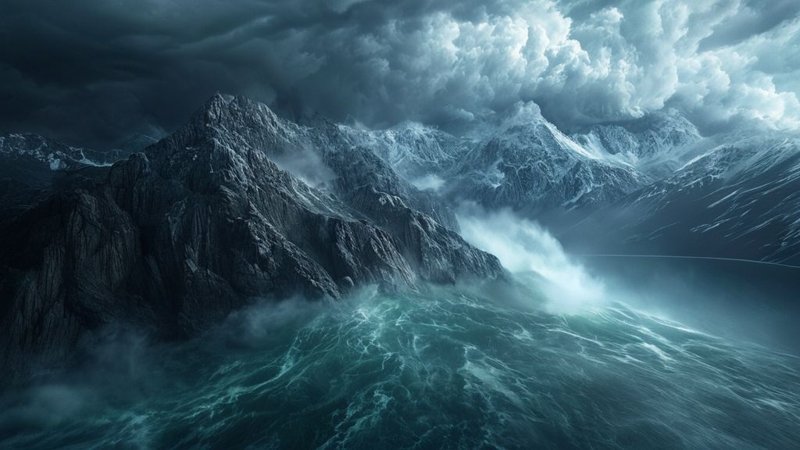
The catalyst was a powerful 7.7 magnitude earthquake that violently shook the region. This seismic shock destabilized the steep slopes surrounding the bay. The result was staggering: forty million cubic meters of rock, ice, and soil detached and plunged directly into the deep waters of the inlet. This impact generated an instantaneous, violent displacement of water, unlike anything caused by distant seafloor shifts.
The Birth of the ‘Megatsunami’
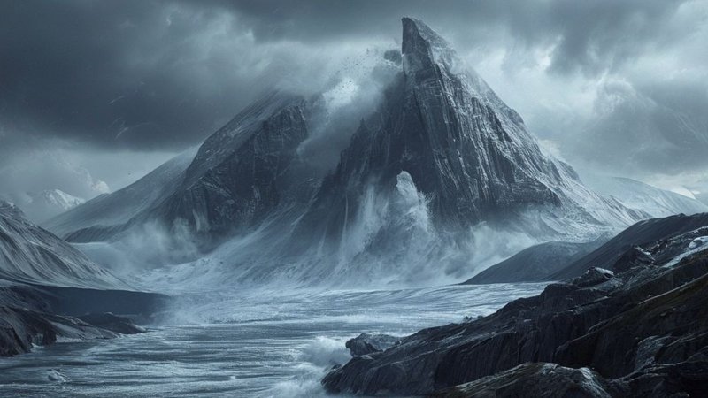
The impact of the landslide created a ‘megatsunami.’ With nowhere to go but up, the water surged vertically, forming a wall of spray and debris. The resulting wave reached an astonishing height of over 520 meters (approximately 170 stories high) on the opposite slope. This was the highest water wave ever instrumentally recorded. Survivors recounted being lifted high above the mature tree line, tossed around like debris in a catastrophic marine event.
Lasting Evidence and Geological Lessons
The wave’s passage left indelible scars on the landscape. The most striking evidence is the ‘tree line’—a precise band circling the bay where all vegetation was scoured away by the water’s sheer kinetic energy. Beyond the forest destruction, the event fundamentally reshaped coastal topography, eroding rock and redistributing vast amounts of sediment. This event serves as a profound, rare lesson in physics, demonstrating how potential energy (the falling mass) converts into devastating kinetic energy in water. It reminds us that landscapes can be instantly transformed, contrasting with slow geological timescales. For those interested in how hidden natural forces shape history, you might also find the story of Beneath Our Feet: Hidden Oceans, Ancient Civilizations & Earth’s Unsolved Mysteries intriguing.
Frequently Asked Questions
Generated by AI Content Architect